

West Boylston - Wachusett Reservoir South
HIKE NAME: Wachusett Reservoir South Hike DISTANCE: 4.5 Miles DIFFICULTY: Easy-Moderate
Restrictions1/24: No dogs or bikes, No motorized vehicles
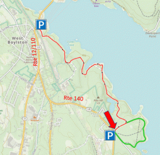
Trailhead: Park off Route 140 (Temple St), at the large lot by the Department of Fish and Wildlife, which is across the road from the large West Boylston Solar Farm. https://maps.app.goo.gl/Tt5H6MahERqWPdYz9
Hike Description: This is an easy out and back hike along the south shore of the Wachusett Reservoir. The hike goes through primarily pine forests, and around several ponds. It also is close to the reservoir for much of the walk. Total elevation is 275 feet.
Links: Wachusett Reservoir Roads and Gates Map
Hike Details:
From the parking lot, head down the main gravel road toward the reservoir.
Take the first major left and continue on that trail all the way to Route 12, past the two small ponds and around the small peninsula that runs along the shore. At one point, near the water, the main road goes straight but take the smaller road around the point, which returns to the main road.
The gravel road comes up through a large stand of pine trees and into a large field by the power lines. A kiosk with information about the reservoir is displayed at this end.
At the end of the trail at Route 12, reverse direction and return.
Other Options to Consider:
Another good parking option is right on Route 12. This is a smaller lot, but starts at a scenic side of the hike. Also, from here, a walk can be made across the causeway on a sidewalk and over to the Old Stone Church.
A trail, shown in green on the map, runs around the south side of the route and adds a mile to the hike. This is a nice small pine-covered path that stays close to the water and is easy to follow. It returns past the Fish and Wildlife office.
Historical Notes:
The Wachusett Reservoir was built between 1900 and 1910 to serve as a water supply for the city of Boston. Water is dammed in Clinton and fed to Boston through a series of aqueducts.
The reservoir displaced the town of West Boylston, which was originally centered around the Old Stone Church that stands just across the reservoir from the Route 12 parking area.
Rev 1/24
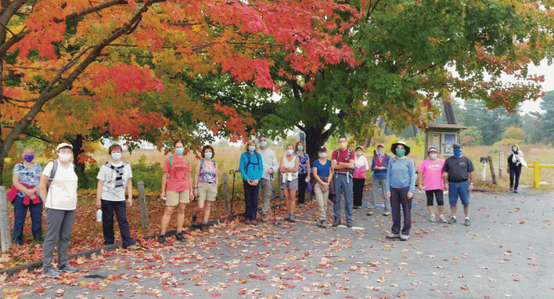
Wachusett Hikers pause at the Route 12 end of the hike on a pretty fall day
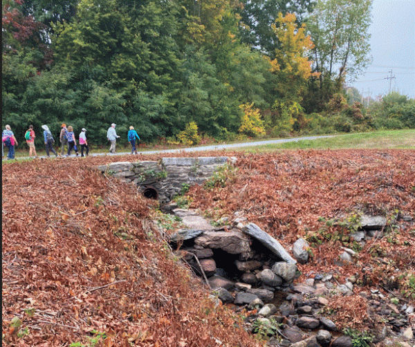
On the trail toward Route 12