

Wachusett Reservoir
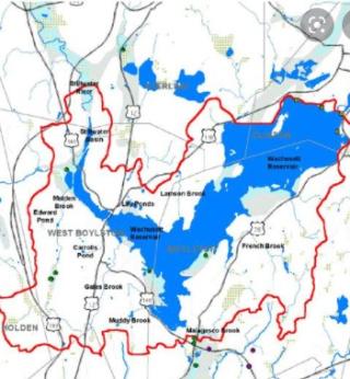
Wachusett Reservoir spans several towns including Sterling, West Boylston, Boylston, and Clintonproviding many miles of hiking on all sides. Several hikes traverse over gravel roads through the woods and down to the shoreline of the reservoir.
The Princeton Hikes! group has enjoyed several different hikes:
- North Dike, from Route 110 in Sterling to the Clinton Dam and then over to the railroad tunnel off Route 70
- West side hikes in the south and in the north up by Chace Hill Road
- South Side hike from MA Fish and Wildlife HQ over to Route 12 and back

The old stone church sites across route 12 from the longest hike along the east side of the reservoir.