

Hubbardston - Mt. Jefferson Cons Area - Laurel Loop
HIKE NAME: Hubbardston - Mt Jefferson - Laurel Trail Loop DISTANCE: 3 Miles DIFFICULTY: Easy-Moderate
Restrictions: No motorized vehicles
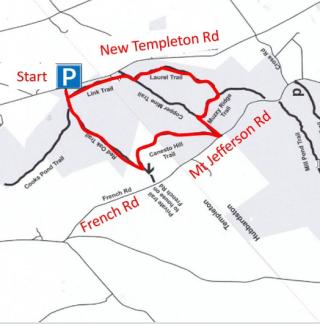
Trailhead: Hubbardston/Templeton. Take Mt Jefferson Road left to Cross Road (right) to New Templeton Road. Left on New Templeton Road past the Templeton Town Line, and then left to the parking area. Can also be accessed more directly from New Templeton Road in Hubbardston. https://maps.app.goo.gl/FM1wBj7nhNZ4XDQC7
Hike Description: This easy woodland walk on the back end of the Mt. Jefferson Conservation Area is especially nice in mid to late June when the laurel is in bloom. Total elevation is 350 feet.
Links: Mt. Jefferson Conservation Area
Hike Details: Starting at the large parking lot on the Templeton side, take the Link Trail to the left. This runs parallel to New Templeton Road.
Turn right when the main trail is reached, and then take the second trail on the left, which is marked Laurel Trail. This trail meanders through a laurel grove for close to a half mile.
Turn right onto the Muzzy Ridge Trail, and then left onto Copper Mine Trail, which will take you almost back to Mt Jefferson Road. Then turn right on Canesto Hill Trail.
The final turn is onto Red Oak Trail, which returns to the parking area.
Other Options to Consider:
A mile can be added to the hike by taking the Cooks Pond Trail down and back. This is a pleasant walk, but it is wet at the end and the pond is not spectacular.
Another option is to take the Muzzy Trail to the left and go to the other side of Mt. Jefferson Road, where there are several trails, heading up to the main trailhead for Mt. Jefferson Conservation Area. The total length of this wide loop is closer to nine miles.
Historical Notes:
Rev 1/24
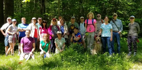
Princeton HIkers on the Red Oak Trail
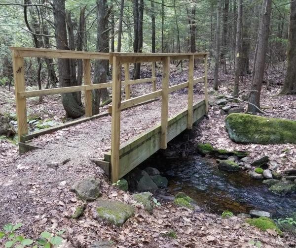
Mt. Jefferson Bridge on the Link Trail