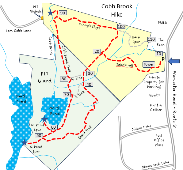
Cobb Brook Trails
HIKE NAME: Cobb Brook Loop DISTANCE: 2 Miles DIFFICULTY: Easy-Moderate
Restrictions: No motorized vehicles
Trailhead: Worcester Road (Route 31) just north of the Princeton Post Office and Monti’s Market south of the Mountain Barn. Enter and park against the chain link fence gate. https://goo.gl/maps/o9UG4eU1q6XCg1fR9
Hike Description: These trails head from Worcester Road down to the west to the Cobb Brook area. This hike loops around the trail area, stopping at three spurs that lead to views of beaver ponds or Cobb Brook. The land is shared by Princeton Land Trust and landowner Bruce Jacobson. The elevation change is 175 feet.
The trail can be wet, particularly along the lower section, and there are a few streams that need to be crossed with some caution.
Links: Trail Map
Hike Details:
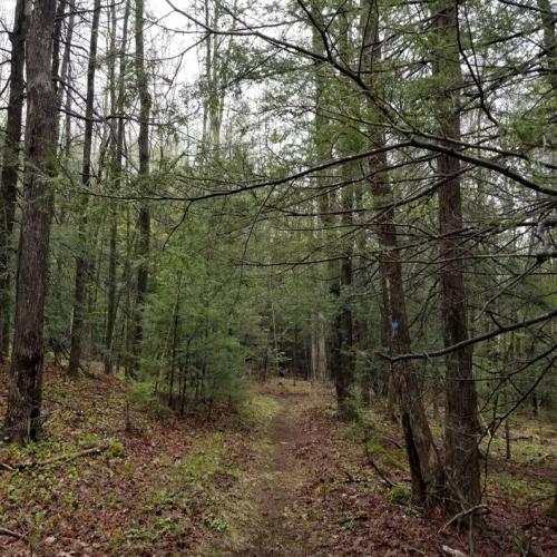
From the parking area, follow the blue blazes down Jake’s Trail through the open lot to the left of the kiosk and through a short wooded section, and then turn right toward the cell tower. Pass the cell tower and proceed along blue blazes to the T junction.
Take a left at the T Junction, proceeding clockwise around the loop. Pass over a stream crossing and continue straight on the Giard Trail, which stays on the high side of the valley and then goes downhill and joins to the lower Cobb Brook Trail.
At the T junction at the bottom of the hill, explore off to the left down the South Pond Trail to the larger beaver pond, where there is a nice viewing area. Return past the Giard Trail and take a left onto the North Pond Trail to check out the smaller pond.
Return to the Cobb Brook Trail and take a left to proceed to the north end of the property, and explore the short Cobb Brook Spur Trail.
Return by taking the Sunny’s Slope Trail uphill from the brook, and turning right to continue and then left on Jake’s Trail to return to the parking area.
The two beaver ponds are quiet spots with plenty of bird activity. The bridge abutment is a good spot to check out Cobb Brook.
Other Options to Consider
The hike can be shortened by using one of the two connector trails.
Also, at the top of Sunny’s Slope where the trail turns to the right, you can continue straight through a small forest and back of the Mountain Barn parking area. From here it is a short walk out to the main parking area.
Rev 12/4/2023
Cobb Brook Trail |
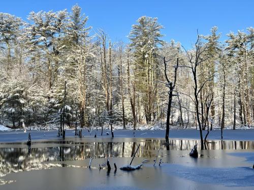
The north beaver pond in winter...Cobb Brook Trails are a great place for snowshoeing. (photo by Karen Specht) |
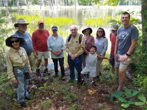
Princeton Hikers at the south beaver pond |
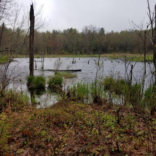
North Beaver Pond at Cobb Brook |