

Sterling - Stillwater Basin Trail
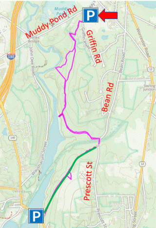
HIKE NAME: Sterling - Stillwater Basin Trail DISTANCE: 3.5 Miles DIFFICULTY: Easy-Moderate
Restrictions: No motorized vehicles, no dogs or bikes (DCR wetland)
Trailhead: Sterling. Park at the soccer fields on Griffin Road. Griffin Road is off Muddy Pond Road, just east of the Sterling Senior Center and behind Chocksett/Houghton schools. https://maps.app.goo.gl/mu5su43FDH2yEhqh7
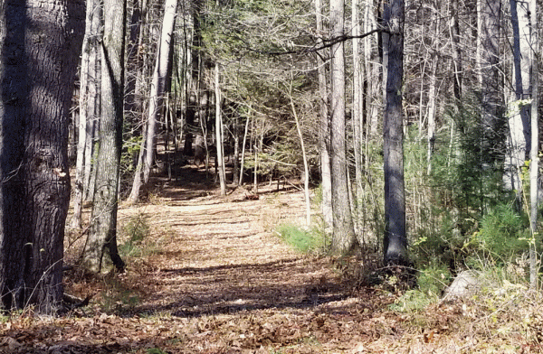
Hike Description: This is a nice out and back walk, mostly along good and fairly level footing in pine forests. The trail is up high on the east bank of the Stillwater River, and at two points the track veers off the main trail to go down to the riverside. A short walk along the shore of the Stillwater arm of the Wachusett Reservoir is included. Total elevation is 500 feet due to the walk down to the river.
Links: Sterling Brochure
Hike Details:
From the parking lot, go to the northeast corner of the overflow lot (west side of the road), and ascend quickly to the top of the pine esker. The trail crosses the esker and descends on the west side, moving along the side of the esker and down to the field before climbing back up to an area with a fine view of Mt. Wachusett.
Return to the main trail and continue to the south. The trail leads through the woods, and past a rough side road which can be explored but is blocked by trees in many spots. Beyond that (on the main trail) there is a cleaner road to the right which leads down to the Stillwater River, a pretty spot. Continue past this on a smaller trail that goes to the left and gradually up the hill to rejoin the main trail.
Rejoin the main trail (bear right) and hike right through the pine forest and some areas that have been timbered recently. You will encounter a road going to the right down to the shore of the Stillwater Basin. This is a useful in and out side trip. It is possible to follow the shore of the basin to the left and then through the woods back to the path (but the trail is weak). Otherwise, return to the main trail and turn right.
Continue south on the main trail to Prescott Street in West Boylston (Oakdale).
At the end of the main trail there is a gate by Prescott Street. This is the end of the hike, so return via the main path to the parking lot. On the way back, you may want to avoid the side trip down to the river as it is quicker to just continue down the main trail.
Other Options to Consider:
The hike can be extended by two miles by going right and across the train tracks at Prescott Street. There is a cleared gravel road (green on map) to the right which is part of the Central Mass Rail Trail, and goes over to Route 140 in Oakdale, which is very close to the Oakdale part of the Rail Trail...a short walk across the bridge and down to the left.
The hike can also be started from the Oakdale side, either on Prescott Street or from Beaman Street.
Historical Notes:
Rev 1/24
The Stillwater Trail down by Prescott Street in West Boylston
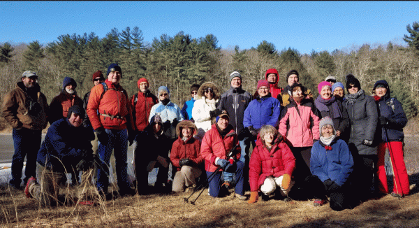
Stillwater Hikers down by the Basin, on the West Boylston side