

Westminster - Muddy Pond
HIKE NAME: Muddy Pond - Midstate DISTANCE: 4 Miles DIFFICULTY: Easy
Restrictions: No motorized vehicles
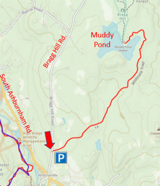
Trailhead: Westminster: Take Rte 2A north of Route 2, and turn left on South Ashburnham Road. Bragg Hill Road is 2.5 miles up South Ashburnham Road on the right. The small Midstate Trail parking lot is a short way up the hill on the right. https://maps.app.goo.gl/PWUHiZEGKWk6husa8
Hike Description: This hike is mostly an easy walk over the Midstate Trail in northeast Westminster that leads up to a shelter on the side of Muddy Pond. It is a great cross country skiing route in the winter. Total elevation is 200 feet.
Links: None.
Hike Details:
From the parking lot, take the rough gravel road north and follow the yellow Midstate Trail blazes. The route soon turns to a nice trail that reaches Muddy Pond after two miles. Near the pond, this is a winding trail with several small bridges which may be slippery when wet.
At Muddy Pond there is a shelter set in a pretty pine grove. This location marks the turnaround point for the four mile walk.
Other Options to Consider:
Muddy Pond can also be visited as part of a section of the Midstate Trail that continues for two more miles up to Route 12, and leads over some pretty hills up to the base of Mt. Watatic.
Historical Notes:
Rev 1/24
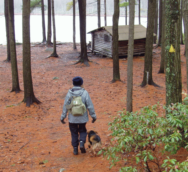
Walking down to the shelter on the Midstate Trail
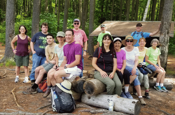
Princeton Hikers at Muddy Pond Shelter
Restrictions: All non-motorized use is permitted.